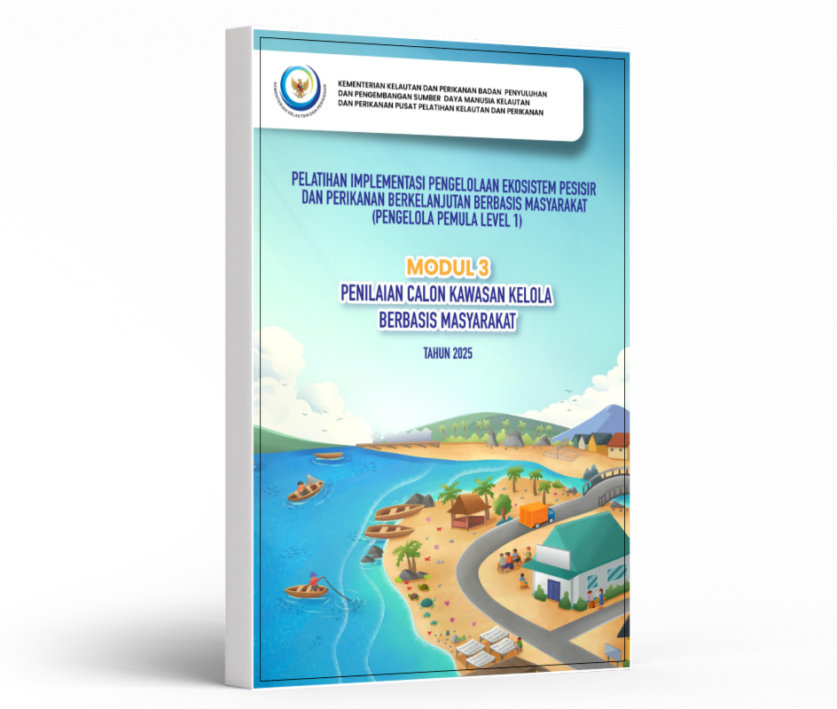
Modul Pelatihan: Penilaian Calon Kawasan Kelola Berbasis Masyarakat
CTC-CFF Thematic Alignment
- Gender Equality and Social Inclusion (GESI)
- Ecosystems Approach to Fisheries Management (EAFM)
- Marine Protected Area (MPA)
- Community-Based Coastal Resource Management (CBCRM)
Geographic Scope
- Indonesia
Content Language(s)
- Bahasa Indonesia
Introduction/Context
Overview:
This training module, Assessment Module for Prospective Community-Based Management Areas, was developed to strengthen the capacity of facilitators, fisheries extension officers, local government officers, NGOs, and community practitioners in assessing and designing community-based fisheries management areas. The module supports sustainable coastal and fisheries governance through Participatory Rural Appraisal (PRA) approaches that integrate local ecological knowledge, seasonal analysis, gender perspectives, and community participation.
Background:
Many coastal communities depend on small-scale fisheries and coastal ecosystems for food security and livelihoods. Effective management requires an understanding of fishing grounds, coastal ecosystems, seasonal patterns, local governance, and gender roles in fisheries activities.
The module provides practical guidance for mapping coastal resources and their utilization, assessing fisheries-supporting infrastructure, identifying environmental threats and management challenges, developing seasonal calendars, and prioritizing fisheries resources to support the design of community-managed fisheries areas and sustainable fisheries management interventions.
The module provides practical guidance for mapping coastal resources and their utilization, assessing fisheries-supporting infrastructure, identifying environmental threats and management challenges, developing seasonal calendars, and prioritizing fisheries resources to support the design of community-managed fisheries areas and sustainable fisheries management interventions.
Problem Statement:
Community-based fisheries management initiatives often face challenges due to limited information on fishing grounds, ecosystem conditions, seasonal fisheries patterns, community infrastructure, and the roles of men and women in fisheries. This module addresses these information gaps through participatory assessment methods.
Specific Location
Applicable across coastal communities in the Coral Triangle region, particularly in Indonesia and other CTI-CFF member countries
Geographical Detail
Coastal and marine ecosystems including mangroves, seagrass beds, coral reefs, fishing grounds, and nearshore fisheries areas.
Scale
Village to sub-district level coastal management units and community fisheries management areas.
Structure:
Structure:
Step 1: Stakeholder Identification
Identify relevant stakeholders including fishers, women groups, community leaders, customary institutions, local government representatives, and fisheries-related actors.
Step 2: Stakeholder Engagement
Conduct participatory meetings ensuring representation of men and women and marginalized groups. Facilitate inclusive discussions to gather local knowledge.
Step 3: Mapping Fishing Grounds
Use participatory mapping methods to identify fishing grounds, fishing activities in intertidal zones, landing sites, jetties, and other fisheries-related locations.
Step 4: Infrastructure Assessment
Identify and document fisheries-supporting infrastructure such as landing sites, transportation facilities, communication services, electricity, water supply, schools, health facilities, and market access.
Step 5: Coastal Resource and Threat Mapping
Map coral reefs, seagrass beds, mangroves, spawning areas, customary protected areas, and locations affected by destructive fishing, sedimentation, abrasion, or other threats.
Step 6: Assessment of Resource Use and Governance
Document on how communities utilize coastal resources, local management
practices, customary regulations, and existing conservation measures.
Step 7: Seasonal Calendar Mapping
Develop calendars showing fisheries activities, livelihood activities, fishing seasons, and community events throughout the year.
Step 8: Gender Analysis
Identify and document the roles of women and men throughout fisheries value chains, including pre-production, production, and post-harvest activities.
Step 9: Validation and Planning
Review findings with stakeholders and use the results as a basis for designing community fisheries management areas and protection zones.
Success factors:
• Strong community participation.
• Inclusive engagement of women and men.
• Utilization of local ecological knowledge.
• Participatory and visual mapping methods.
• Validation and consensus-building processes.
• Inclusive engagement of women and men.
• Utilization of local ecological knowledge.
• Participatory and visual mapping methods.
• Validation and consensus-building processes.
Critical challenges::
• Limited baseline information on fisheries and coastal resources.
• Underrepresentation of women and marginalized groups in resource management discussions.
The Breakthrough::
Adoption of participatory mapping and seasonal calendar approaches that integrate local knowledge and gender perspectives into planning processes.
Success factors::
• Inclusive stakeholder participation.
• Strong facilitation process.
• Recognition of local ecological knowledge.
• Gender-responsive data collection.
• Community validation of results.
Result snapshots::
• Improved understanding of fishing grounds and coastal resources. Identification of threats and management priorities.
• Documentation of seasonal fisheries patterns.
• Increased recognition of women's roles in fisheries.
• Evidence base for community fisheries management planning.
Transferable tips::
• Practical tip #1: Ensure balanced participation of women and men.
• Practical tip #2: Use visual tools such as maps and seasonal calendars.
• Practical tip #3: Validate all findings with communities before planning management interventions.
Institution:
Rare
email : indonesia@rare.org
website : rare.org/region/asia-pacific/indonesia/
Pusat Pelatihan Kelautan dan Perikanan, Kementrian Kelautan dan Perikanan
email : -
website : elaut-bppsdm.kkp.go.id/